| GNSS constellations | GPS L1, L2
GLONASS L1, L2
BeiDou L1, L2 (Optional)
Galileo E1, E5 (Optional) | GPS L1, L2
GLONASS L1, L2
BeiDou L1, L2
Galileo E1, E5 |
| Position accuracy | 1.5 m SPS
0.6 m SBAS
0.4 m DGPS
0.1 m PPP
0.01 m RTK | 1.5 m SPS
0.6 m SBAS
0.4 m DGPS
0.02 m RTK |
| Roll / pitch accuracy | 0.03° | 0.05° |
| Heading accuracy | 0.1° (single antenna)
0.05° (dual antenna) | 0.1° |
| Measurement rate | 100 Hz
200/250 Hz (Optional) | 100 Hz
200/250 Hz (Optional) |
| Operating temperature | -40°C to +70°C | -40°C to +70°C |
| Specification temperature | -10°C to +50°C | -20°C to +70°C |
| Power input | 10-50 V DC | 5-30 V DC |
| Power consumption | 15 W | 4 W |
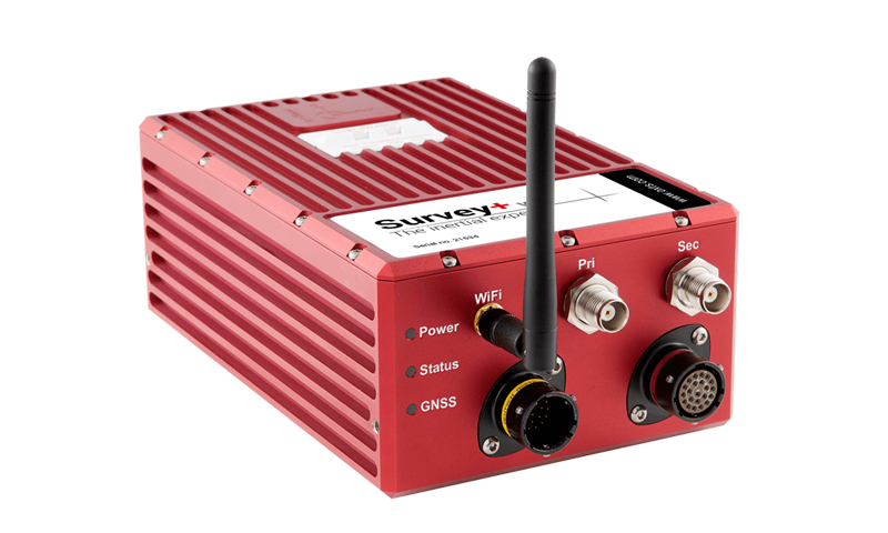
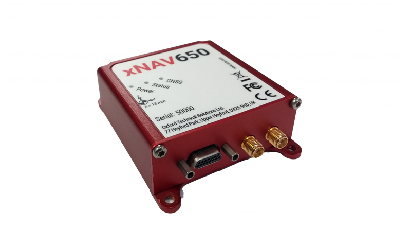
| Dimensions | 184 x 120 x 71 mm | 77 x 63 x 24 mm |
| Weight | 1.4 kg | 130 g |
| Logging capacity | 32 GB | 32 GB |
| Interfaces | Ethernet (x3), Serial (x3) | Ethernet, Serial |
| Dual antenna | Yes | Yes |
| PTP capable | Yes | Yes |