SpatialAnalyzer
A single software package for all your portable measurement needs and devices
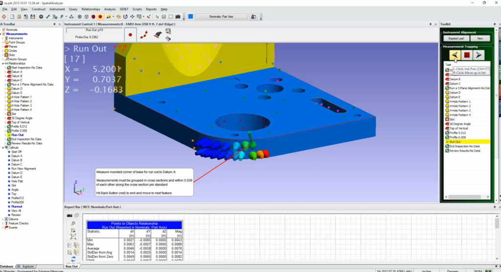
SpatialAnalyzer (SA) is an instrument-independent, traceable 3D graphical software platform that makes it easy for users to integrate data from multiple instruments and perform complex tasks simply, ultimately improving productivity.
SA makes it easier for users to:
- Inspect parts
- Build
- Analyze data
- Report
- Reverse design
- Interface with virtually any type of portable metrology instrument
- Automate complex operations to improve measurement and inspection efficiencies
SA helps customers achieve:
- Address a broad spectrum of problems ranging from simple to complex
- Save time, money, effort, and ultimately improve productivity
- Establish ROI and accomplish goals that were previously impossible
We are a distributor of SpatialAnalyzer in Australia. Please contact us for trial use, demo, sales and support topics.
We also provide remote or onsite training for users from beginner to advanced level. Training topics can be customised.
Full Support for Multiple Portable Metrology Instruments
Powerful, versatile, and user-friendly, SA can simultaneously communicate with virtually any number and type of portable metrology instruments. This includes laser trackers, arms, laser radars, scanners, projectors, theodolites, total stations, and photogrammetric devices–all featuring a common interface for each instrument class.
Alignment
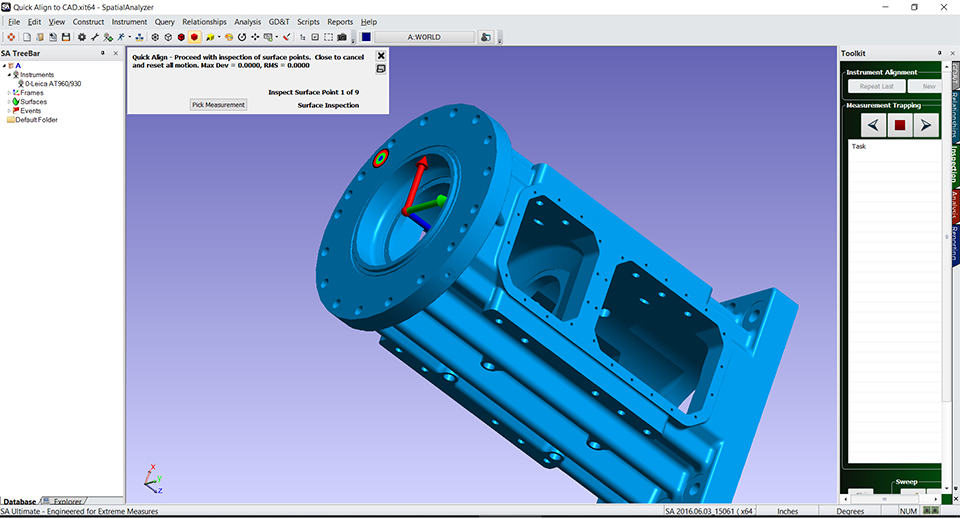
Align to a known coordinate system using a variety of techniques, from 3-2-1 and best fits to interactive fitting such as Quick-Align and classic surface fits. Relationship Fitting allows for simultaneous feature-based fitting to organic surfaces in addition to traditional iterative fitting.
Real-Time Build & Virtual Assembly
Digitally assemble components with relationships and constraints to see how parts will fit in final assembly. An entire suite of tools are available for real-time building.
Traceability
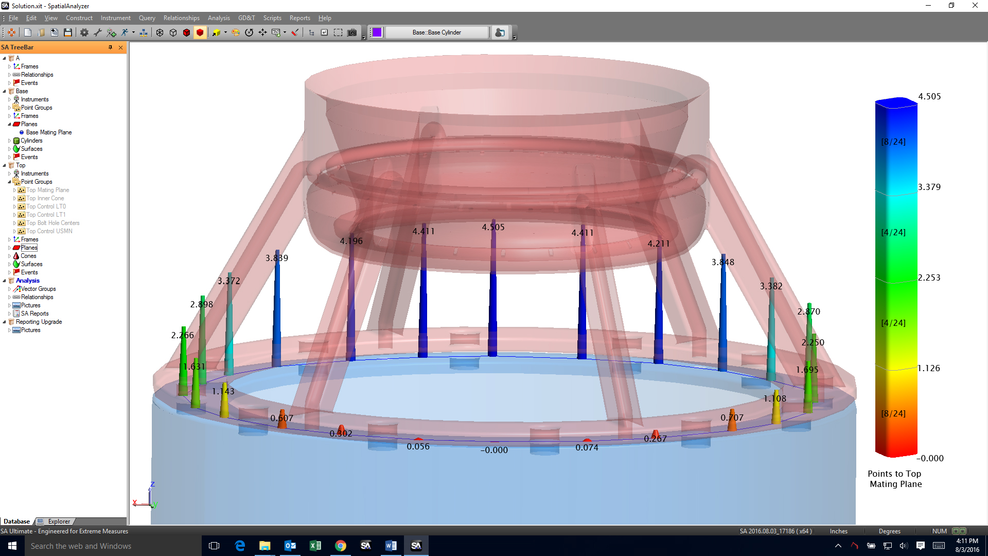
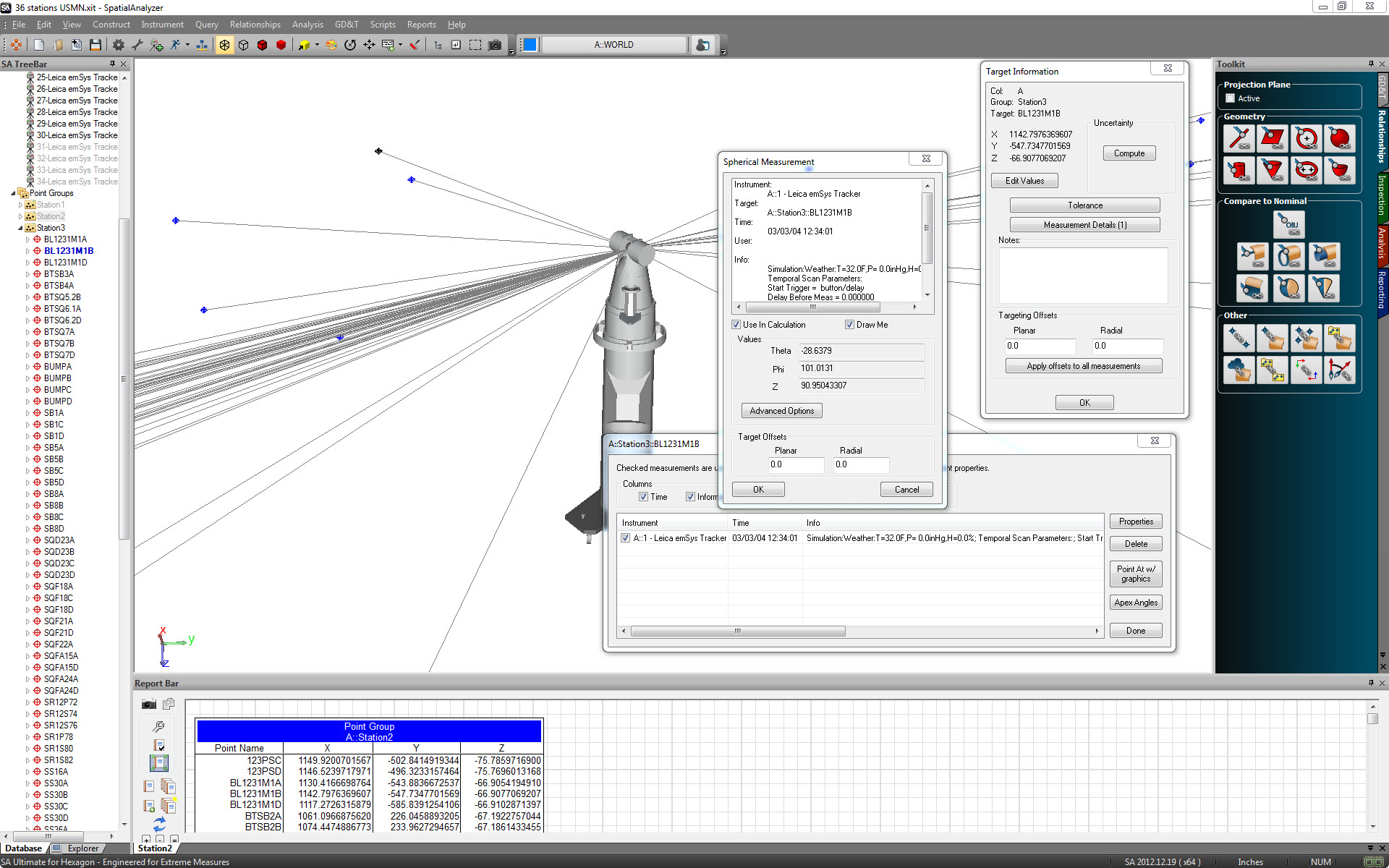
Maintain a clear history of all data from start to finish with 100% traceability from measurement to reporting.
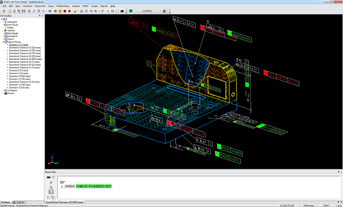
GD&T Inspection
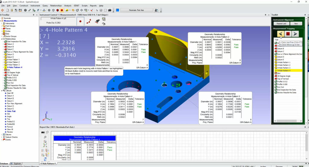
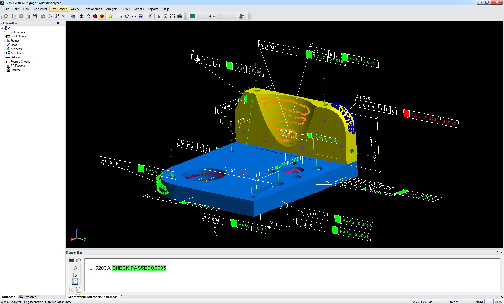
Address ASME standard GD&T requirements with support for native CAD annotations.
Reporting Tools
Quickly and easily generate custom reports with output to a wide variety of formats.
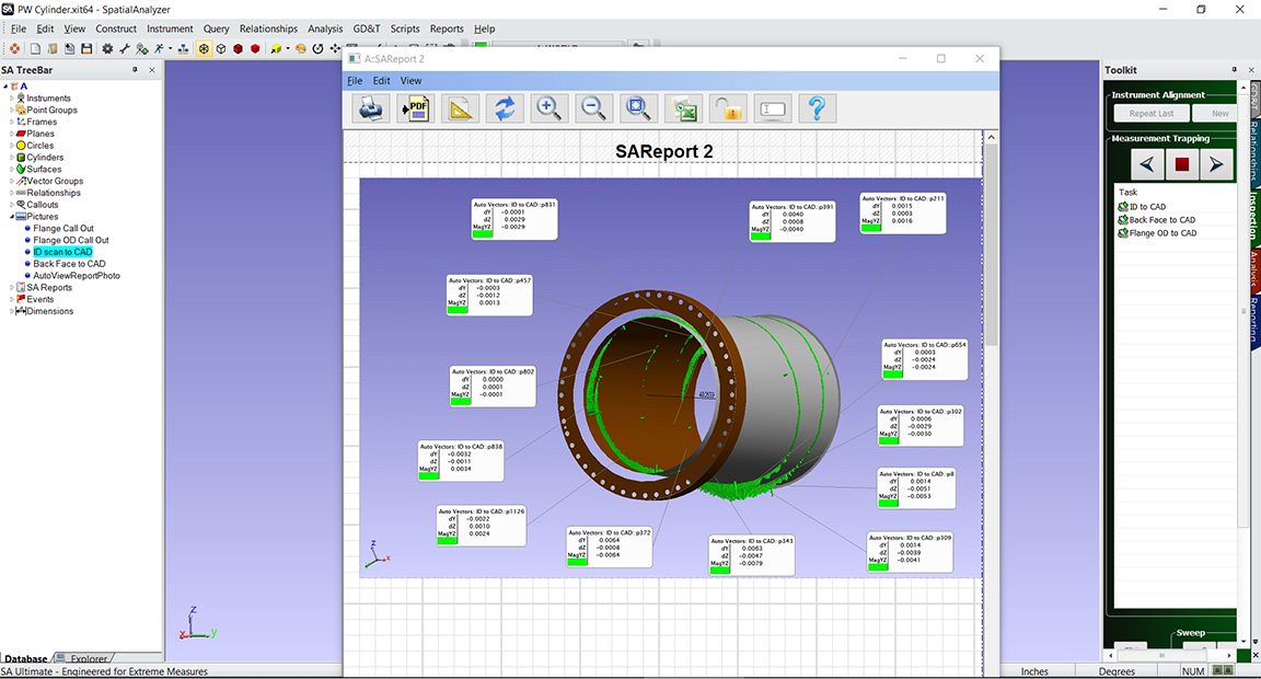
Point Clouds
Combine laser scanner interfaces with advanced tools for feature fitting and automatic sphere extraction. Automatically extract features from scan data for easy comparison to CAD or analysis with GD&T.
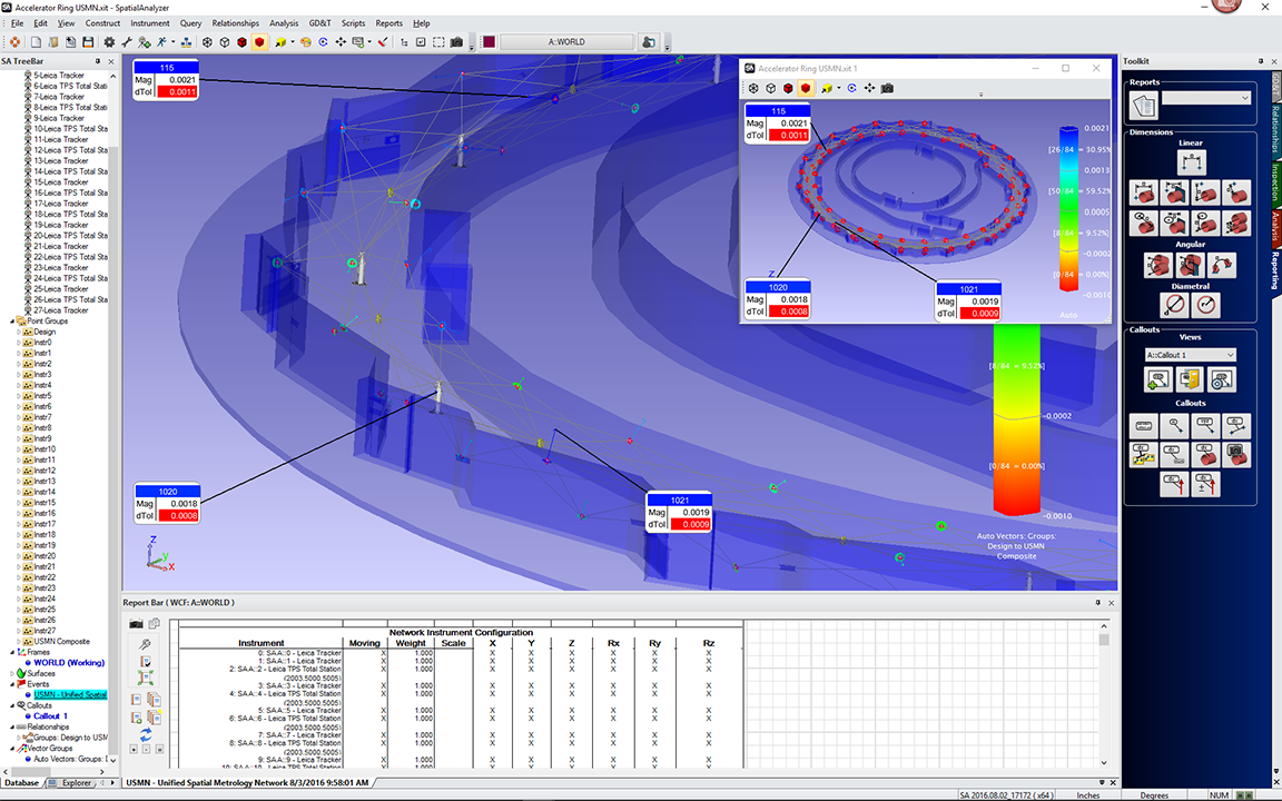
Uncertainty Calculation & USMN
Calculate measurement uncertainty and use USMN to achieve the ideal instrument network.
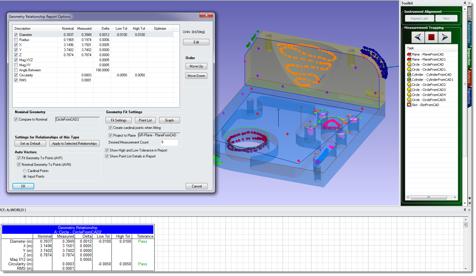
Geometry Inspection
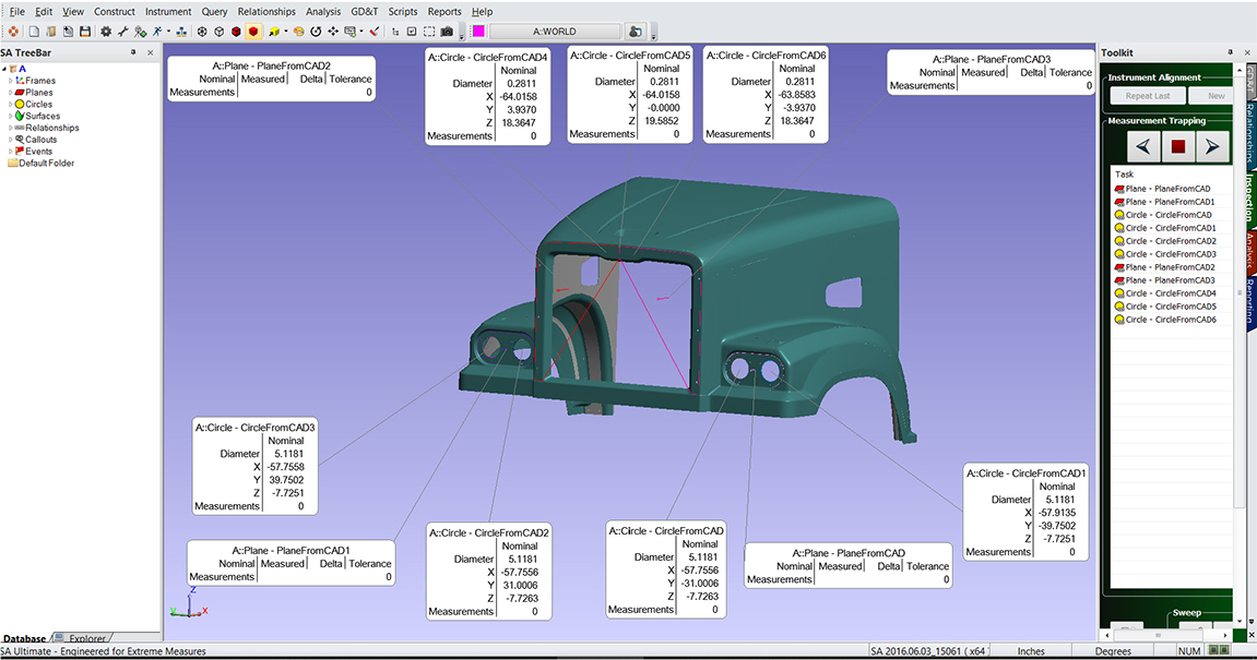
Define design-based inspection routines from a CAD model or primitive geometry.
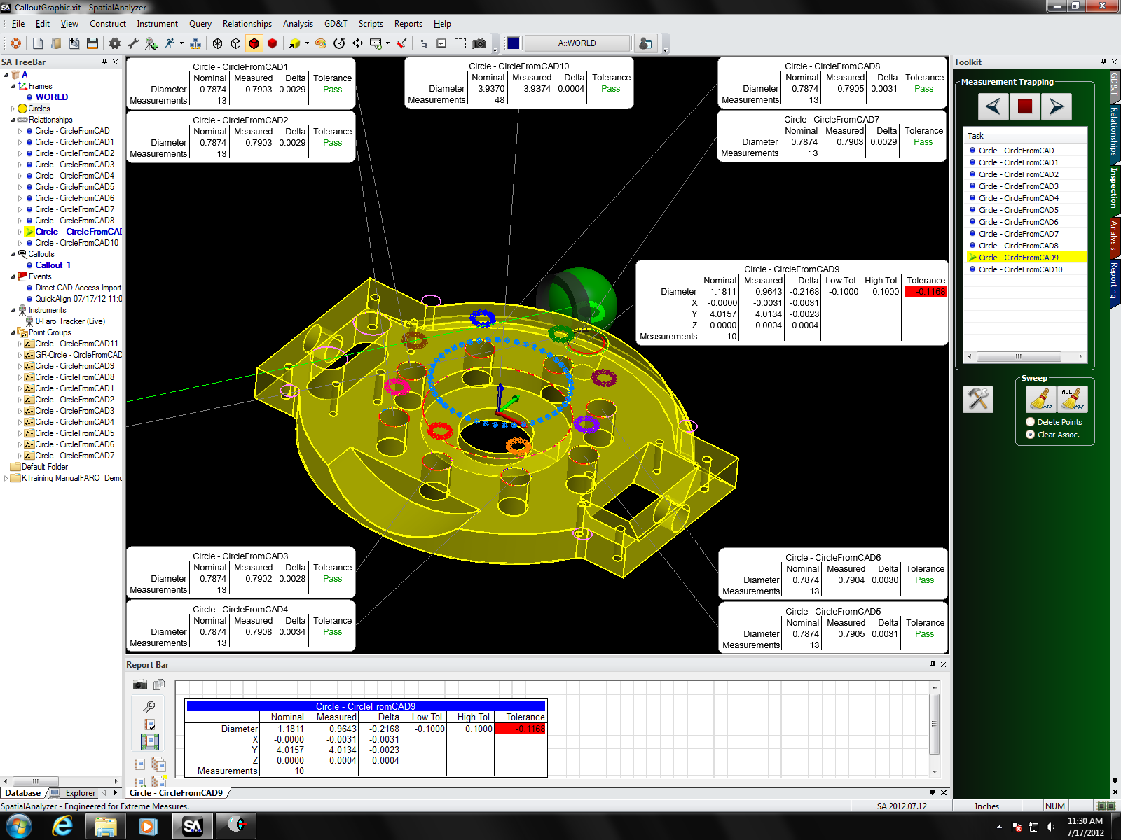
Model-based Definition
Take advantage of CAD models to capture deviations over time or watch them in real-time.
Automation
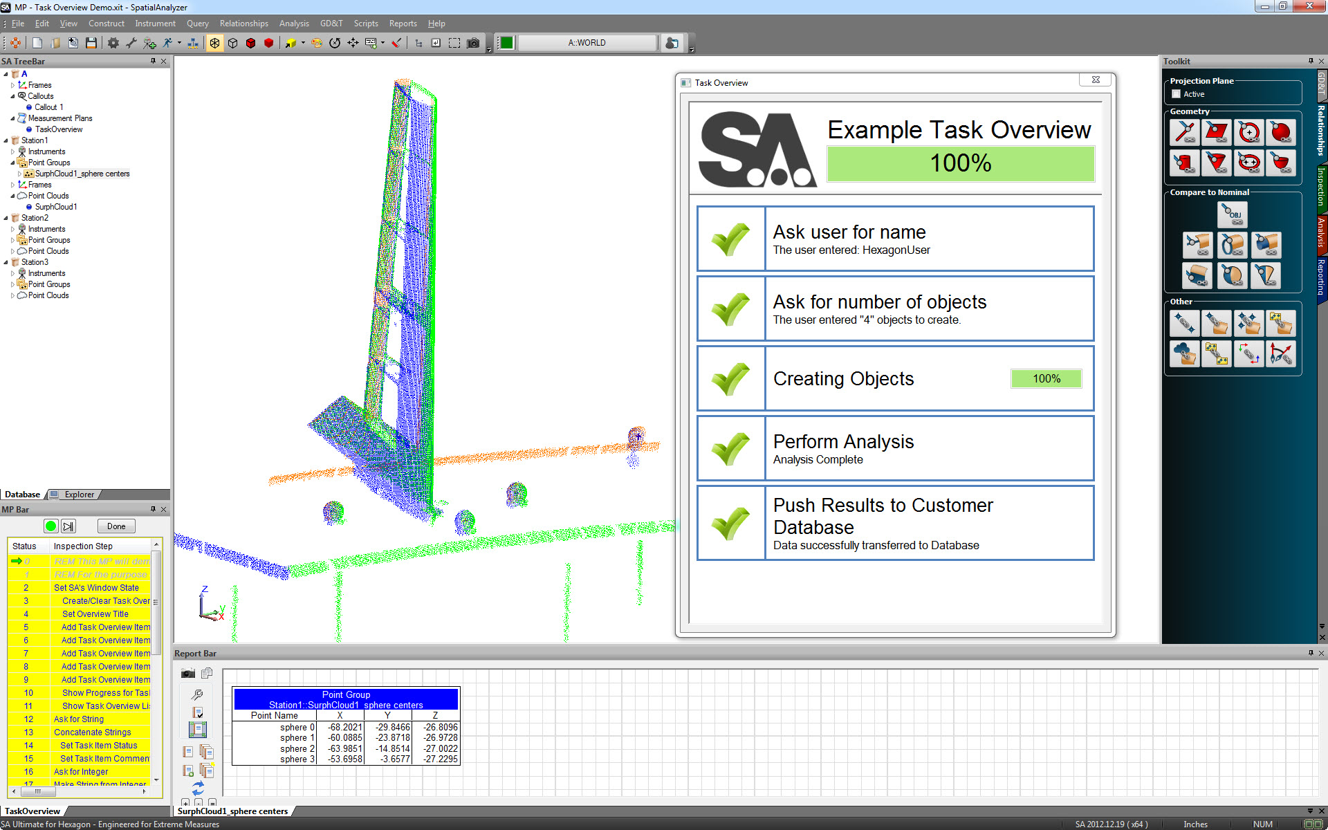
Use Measurement Plans and an SDK to enable powerful scripting and automation capabilities.
- Aerospace
- Shipbuilding
- Energy
- Satellite
- Automotive
Click here for more successful stories and customer testimonials.
SpatialAnalyzer supports a wide range of portable metrology instruments. Below is a list that keeps growing – please contact us regarding supported instruments if you have questions.
Automated Precision Incorporated (API)
Portable CMM Arms
- Axxis 6 dof and 7 dof arms
Laser Trackers
- API Omnitrac 2
- API Tracker II
- API Tracker III
- API Radian
Auxiliary Devices
- API Laser Rail
Faro Technologies
Portable CMM Arms
- USB Arms – Edge, Prime, and Fusion
- Faro ScanArm (V3, ES, HD)
- Gold and Silver Series Arms
- USB Arms – Platinum, Titanium, QuantumE, QuantumS, QuantumM, and Edge
Laser Trackers
- Vantage, VantageE, and VantageS
- Si, S, Xi, X and Ion Trackers
- SMX Tracker 4000, 4500
Scanners
- Photon/LS/Focus 3D Scanners
Hexagon
Portable CMM Arms
- All Romer Absolute, Multi-Gage 6 and 7 dof arms
- All Cimcore 6 and 7 dof arms
- Perceptron laser line scanner for 7 dof
Laser Trackers
- Leica Absolute Tracker 930/960
- Leica Emscon Absolute AT 900 series trackers
- Leica Emscon AT401, 402, 403
- Leica Emscon LT 500 – LT800 series trackers
- Leica TP-Link Trackers
Total Stations
- Leica Flexline Plus Series Total Stations
- Leica Nova MS50 and MS60
- Leica Nova Series MultiStations
- Leica TC2000, TC2002
- Leica TDA5005
- Leica TDRA 6000 series
- Leica TPS Total Station (2003, 5000,5005)
- Leica T1200 series
- Leica Viva Series Total Stations
Theodolites
- Leica TM6100A Theodolites
- Leica TPS (1800, 5100) Theodolites
- Leica/Wild (T2000, T2002, T3000)Theodolites
Scanners
- Leica Geosystems ScanStation Pxx scanners
Nikon Metrology
Scanner
- Metris Laser Radar CLR100, MV200, MV300
GPS Networks
- Metris iGPS Surveyor and Surveyor 2
Photogrammetry
- Metris K-Series K-Scan and SpaceProbe
Virtek
- Laser Projector
AICON
Photogrammetry
- AICON ProCam 3D Probe
- AICON MoveInspect
Assembly Guidance
- LaserGuide Projection System
Creaform
Scanners
- Creaform VXelements
Geodetic Services, Inc. (GSI)
Photogrammetry
- M-System
- V-Stars Single Camera
- V-Stars Bundle Network Uncertainty Simulation Interface
Laser Projection Technologies (LPT)
- Laser Projector
LAP
- CAD-Pro Laser Projector
Metronor
Photogrammetry
- Metronor Portable Measurement System
Northern Digital (NDI)
Photogrammetry
- NDI OptoTrak
Surphaser
Scanners
- Surphaser 3D Laser Scanners
SwissTek
Theodolites
- Kern E Series
Topcon (Sokkia)
Total Stations
- DS (DX), ES (CX), OS (FX), and PS (SX) Total Stations
- Net-1, Net-2, SETX, Net05X, Net05AX
VICON
Photogrammetry
- Vicon Tracker
Zeiss
Theodolities
- Zeis ETh 2
Zoller + Fröhlich (Z+F)
- Laser scanner
Other notable instruments:
- Boeing Laser Tracker
- Sandia National Labs Arm
- Romer Sigma Arm 2022
- Metron Scanner
- Nivel 20 Two Axis Level
- Thommen HM30 Weather Station
- Davis Perception II Weather Station
- Scan Alert Temperature Probe
- On-Track Laser Line System
- Ultrasonic Thickness Gauge
- Digital Levels for USMN Networks
It doesn’t cost more to get CAD file format support in SpatialAnalyzer. All users have the following CAD formats supported:
IGES, STEP, STL, CATIA®, SolidWorks®, NX®, ProEngineer®, Creo Parametric Inventor, and more.